The RGCI-2019 Unified Geodetic Reference System: A Silent Revolution

Since 2019, all surveyors in Ivory Coast (Côte d'Ivoire) have been working with the same coordinate system. Here is what the RGCI-2019 changes in concrete terms for your plot and your investment.
A question about a plot?
Send the first page of a document on WhatsApp: we tell you what it is, free of charge.
Two surveyors work on the same plot and produce two boundary survey plans that do not overlap. A discrepancy of a few metres on the boundaries is enough: the two neighbouring owners enter into a dispute, the administrative procedure drags on for months, and the ACD (Arrêté de Concession Définitive, the definitive concession order) is contested.
This scenario, common on the Ivorian land market before 2019, had a precise technical cause: surveyors were working with different geographic reference systems, some inherited from the colonial period, others adopted by private firms without any national harmonisation. The same point on the territory could therefore be assigned different coordinates depending on the system used.
Decree No. 2019-220 of March 13, 2019 put an end to this situation by establishing the Ivory Coast (Côte d'Ivoire) Geodetic Reference System (Référentiel Géodésique de Côte d'Ivoire, RGCI-2019), a single reference system that is mandatory for all land and construction actors. The reform is technical, and therefore invisible to the general public. It is nonetheless decisive for the reliability of any land investment.
What is a geodetic reference system?
A geodetic reference system is the coordinate system used to position any point on the national territory precisely on a map. It comprises three components: a terrestrial reference system for horizontal coordinates (latitude and longitude), an altimetric reference system for elevations, and a representation system for projecting spherical coordinates onto a flat plane.
Before 2019, Ivory Coast did not have a single, mandatory reference system. Each operator worked according to their training, their equipment or their professional habits. Some still relied on the Abidjan geodetic system inherited from the 1960s, others on modern but unharmonised GPS systems, and still others on partial reference systems established locally.
What the RGCI-2019 establishes
Decree No. 2019-220 simultaneously establishes three harmonised references.
First, it sets a terrestrial reference system, which fixes the mathematical parameters describing the shape of the Earth used for calculating coordinates. Private surveyors, the Cadastre, the Directorate of Topography and Cartography (Direction de la Topographie et de la Cartographie, DTC), and government administrations now all work on the same model.
Next, it sets an altimetric reference system, which defines the zero level from which elevations are calculated across Ivorian territory. This harmonisation matters for construction projects (slope calculations, drainage, utility networks) and for verifying drainage easements.
Finally, it sets a representation system, which lays down the rules for projecting geographic coordinates onto a cartographic plane. Two maps produced by different operators now overlay each other without any offset.
Why the RGCI-2019 is inseparable from the IDUFCI
The RGCI-2019 and the Unique Land Identifier of Ivory Coast (Identifiant Unique du Foncier de Côte d'Ivoire, IDUFCI) were established on the same day, by two separate decrees designed as a coherent whole: Decree No. 2019-220 of March 13, 2019 for the RGCI-2019, and Decree No. 2019-221 of March 13, 2019 for the IDUFCI.
This is no coincidence. The IDUFCI is a geolocated identifier: its twenty-character number encodes geographic coordinates tied to the RGCI-2019. Without a single reference system, it could not be a stable, shareable identifier, since two operators working with different reference systems would calculate two distinct IDUFCIs for the same plot.
To understand the IDUFCI, see our article IDUFCI: your plot's chassis number and our glossary entry on the IDUFCI.
The RGCI-2019 as the technical foundation of the SIGFU
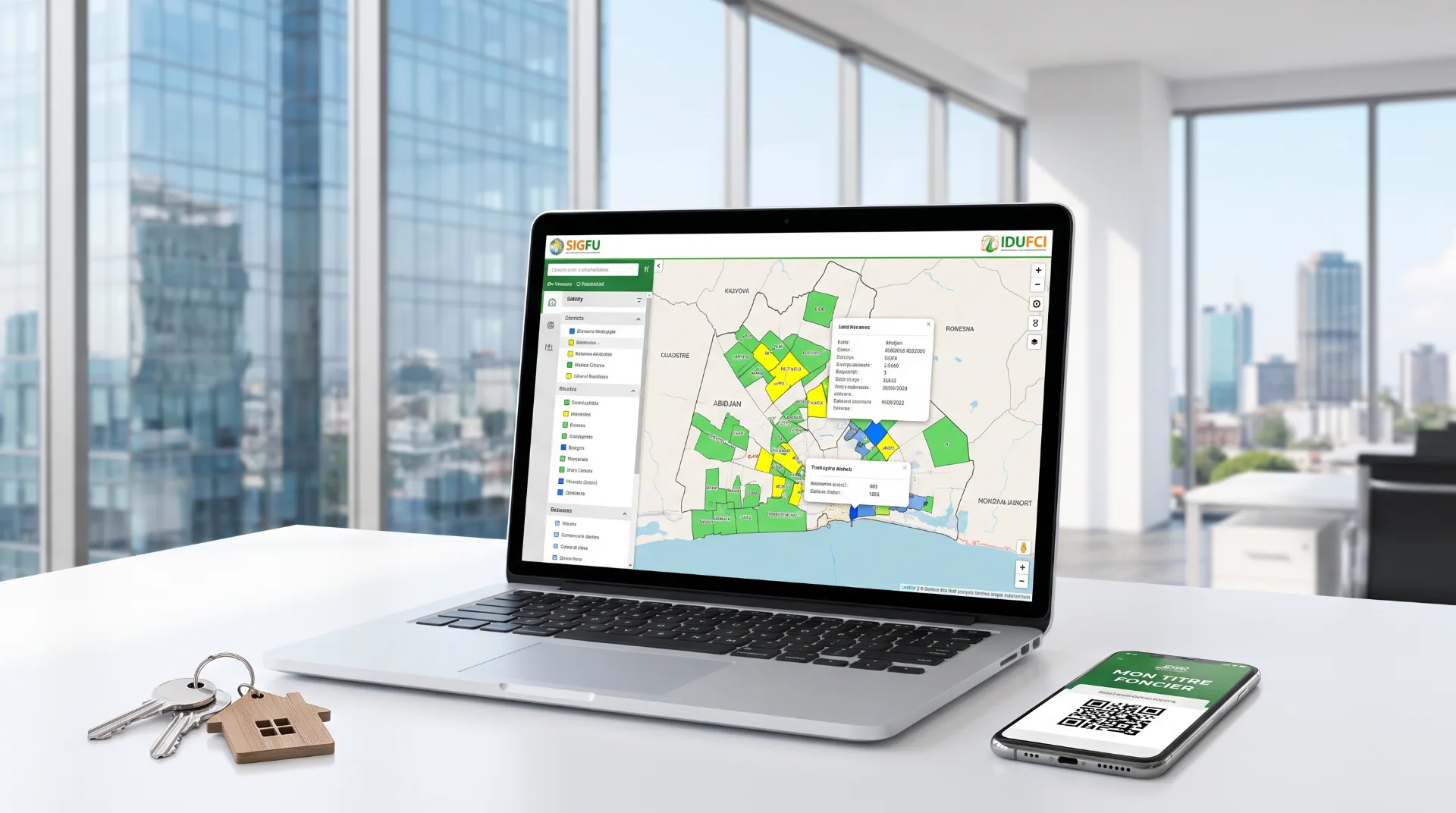
The Integrated Urban Land Management System (Système Intégré de Gestion du Foncier Urbain, SIGFU), established by Decree No. 2021-862 of December 15, 2021 and operational since March 2025, is technically built on the RGCI-2019. The digital plot mapping it maintains only works if all the boundary surveys feeding into it are established in the same reference system. Without the RGCI-2019, the SIGFU would not detect overlaps between plots and would not produce the coherent maps needed to verify application files.
The technical chain therefore runs from the RGCI-2019, the common reference system, to the IDUFCI, the geolocated identifier, and then to the SIGFU, the centralised management system. The three reforms form an inseparable whole.
Our glossary entry on the SIGFU details its scope and how it works.
What the RGCI-2019 changes in practice for investors
A 2025 boundary survey is reliable and interoperable
If you commission a boundary survey in 2025 or 2026 from a surveyor accredited by the Ivorian Order of Chartered Surveyors (Ordre des Géomètres-Experts de Côte d'Ivoire, OGECI), that survey is established according to the RGCI-2019. It integrates immediately into the cadastral systems and the SIGFU, without conversion or adjustment, and any other surveyor working in the same reference system can verify it.
This interoperability has direct value for investors. If a boundary dispute arises with a neighbour, the two surveys can be compared directly, without any preliminary debate over which coordinate system was used. Resolution is that much faster.
Detection of overlaps becomes systematic
One of the most common land problems is overlap: two plots whose boundaries partially intersect, the result of surveys carried out at different times and in different systems. With the RGCI-2019, the Cadastre and the SIGFU automatically detect these intersections between neighbouring plots when a new boundary survey is registered.
This detection reduces the number of boundary disputes that escalate to government administrations and the courts. It does not eliminate them, since measurement errors remain possible, but it changes the scale of the problem.
The value of properly surveyed plots
A plot whose boundary survey is established in the RGCI-2019, registered with the Cadastre and referenced by a verifiable IDUFCI is a plot whose market value is easier to establish. An investor, a valuer or a lending institution can verify its boundaries independently. Geometric transparency feeds price transparency, which works in favour of market liquidity.
The actors who had to adapt
The RGCI-2019 required several categories of actors to adapt.
Chartered surveyors, first. Firms whose equipment and methods were not aligned with the new reference system carried out technical updates and recalibrated their GPS instruments. The DTC, within the Ministry of Construction, Housing and Urban Planning (MCLU), coordinated this transition.
The Cadastre, next. The Cadastre department, attached to the State Secretariat to the Prime Minister in charge of the Budget and the State Portfolio (MCBPE), adopted the RGCI-2019 as the reference system for its national cadastral mapping.
Notaries and government administrations, finally. These actors do not produce geodetic data themselves, but they must know how to verify that the boundary survey plans attached to deeds are indeed established according to the RGCI-2019, for any transaction after its entry into force.
The distinction between the RGCI-2019 and a boundary survey
An important clarification for investors: the RGCI-2019 is a reference system, not a boundary survey document. It defines the geometric rules of the game. The boundary survey itself remains a field operation, carried out by an accredited surveyor, through an adversarial procedure (in the presence of the parties or their representatives) and a signed official survey report.
This report, established according to the RGCI-2019 and submitted to the Cadastre, is the technical document on which the Land Property and Mortgage Registry (Conservation de la Propriété Foncière et des Hypothèques, CPFH) relies to create the Land Title (Titre Foncier, TF) during the ACD procedure, at step 3, before the ministerial signature. Without a validated survey report, the CPFH cannot create the land title corresponding to the plot.
This chain (adversarial boundary survey according to the RGCI-2019, survey report, Cadastre, CPFH, land title) is what allows the boundaries recorded in the Land Registry (Livre Foncier) to match the boundaries actually verifiable on the ground.
Practical use case: verification before purchase
An investor examining a plot offered for sale can request three items to verify the geometric consistency of the file:
- the boundary survey plan drawn up by the surveyor, which must state the reference system used (RGCI-2019 for any survey after 2019);
- the IDUFCI number assigned to the plot, verifiable at idufci.construction.gouv.ci: an IDUFCI consistent with the declared geographic position makes the boundary survey plausibly compliant;
- the plot's cadastral number, to be cross-checked against Cadastre data to verify that there is no overlap with a neighbouring plot.
These three items constitute a first level of geometric verification. They do not replace consulting the state land status report (état domanial) and the land status report (état foncier), but they allow you to quickly spot the most glaring anomalies before incurring due diligence costs.
For a complete verification covering the legal and documentary aspects, see our articles ACD vs Land Title: the official truth and IDUFCI: your plot's chassis number. The official reference portal for geodetic procedures is construction.gouv.ci.
Would you like to verify the geometric and documentary consistency of a plot before investing? Our teams coordinate the necessary checks, working with accredited surveyors and the competent government administrations. Book an appointment with Capital Foncier.
Main sources: Decree No. 2019-220 of March 13, 2019 (RGCI-2019), Decree No. 2019-221 of March 13, 2019 (IDUFCI), Decree No. 2021-862 of December 15, 2021 (SIGFU). BÂTIR Magazine No. 000, October-December 2019, MCLU (Section 7.2).
Doctrinal note. Time frame for publication of the ACD in the Land Registry (Livre Foncier): 180 days officially (BÂTIR No. 004, 2022), often longer in practice.